Sugarloaf Loop
A circuit through Shenandoah’s North District ties the Piney Branch woods to the Appalachian Trail near Hogback Overlook. Mountain laurel grows along the route; the park puts its white blooms in early summer, so a May visit may be too early to catch them.
Park Service circuit from Piney River
- Loop distance
- 5.0 miles
- Elevation gain
- 1,120 feet
- NPS hiking time
- 7 hours
- NPS rating
- Moderate
These estimates and directions describe the National Park Service circuit. Use the shared AllTrails map to see its plotted start and route.
Getting there from Skyland
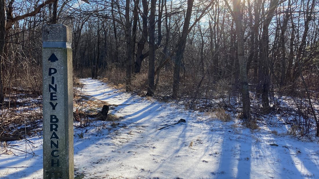
Drive north on Skyline Drive to the Piney River parking area at mile 22. That’s about 20 road miles from Skyland’s north entrance. Start on Piney Branch Upper Trail for the park’s direction around the loop.
Through the woods and back along the ridge
Follow Piney Branch Upper Trail to the Pole Bridge Link junction. Turn left onto the link, then left again onto Sugarloaf Trail. This stretch brings you back toward Skyline Drive above Hogback Overlook.
At the Appalachian Trail, turn left and follow its white blazes back toward the parking area. The Keyser Run area map shows all four named trail segments together, which makes it useful for checking the turns before setting out.
Sugarloaf Loop via Appalachian Trail
Open the shared route on AllTrails · Download the park’s Keyser Run area map (PDF)