Hightop Peak Trail
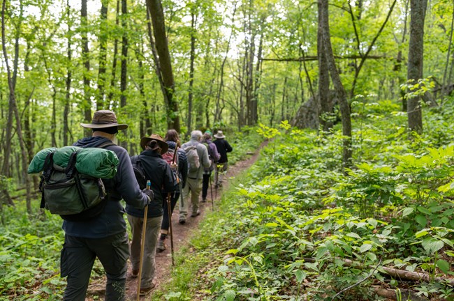
The Appalachian Trail winds uphill through the woods to a short spur overlooking the valley to the west. Hightop makes a good half-day outing if you enjoy a sustained climb: the rocky viewpoint comes at the end of the ascent, and you can decide how far onto it you want to go.
- Round trip
- 3 miles
- Elevation gain
- 935 feet
- Hiking time
- 3 hours
- NPS rating
- Moderate
Getting there from Skyland
Drive south on Skyline Drive to the Hightop Mountain parking area at mile 66.7, about 25 road miles from Skyland’s north entrance. Cross Skyline Drive at the trailhead to pick up the white-blazed Appalachian Trail.
Up the ridge to the viewpoint
Follow the white blazes as the trail bends up the ridge. On a May hike, look along the forest floor for trillium and star chickweed. Near the top, the Appalachian Trail curves left around the summit. Watch on the right for the short side trail: that turn is what brings you to the west-facing view.
The viewpoint is on open rock. If you prefer to avoid edges, pause where the footing feels comfortable. Retrace the spur, then descend the same Appalachian Trail to the road crossing.
Hightop Peak route map
Open this route on AllTrails · Download the park’s South River and Hightop map (PDF)
The mileage, climb and time above come from the National Park Service Hightop Summit guide.