Hawksbill Summit Trail
The Lower Hawksbill Trail packs a steady climb into less than a mile each way. Most of the ascent is in the woods. The reward comes all at once at the stone viewing platform on Shenandoah’s highest peak.
- Round trip
- 1.7 miles
- Elevation gain
- 690 feet
- Hiking time
- 1 hr 15 min
- NPS rating
- Moderate
Getting there from Skyland
Drive south on Skyline Drive to Hawksbill Gap at mile 45.5, about four road miles from Skyland’s north entrance. Start here for the Lower Hawksbill Trail. The Upper Hawksbill parking area is another mile south and serves a different approach.
From the gap to the summit
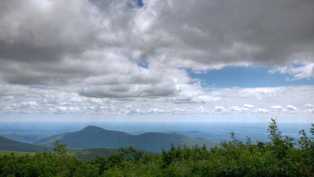
Take the Lower Hawksbill Trail uphill from the gap. The rocky grade starts early and gives you few level stretches. Near the top, Byrds Nest 2 Shelter marks the last short walk to the viewing platform. On a clear day, look west into the Shenandoah Valley and east toward the Virginia Piedmont.
Return to the gap by the same trail. Allow time for the descent: the stones you stepped up on the way out become steep steps down on the way back.
Lower Hawksbill trail map
Open this route on AllTrails · Download the park’s Hawksbill trail map (PDF)
The figures above are the park’s estimates. AllTrails lists this out-and-back at 1.6 miles and 669 feet of gain.