Calvary and Chimney Rocks Trail
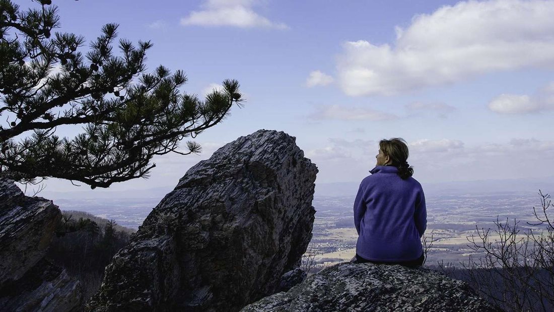
Chimney Rock comes into view across a gorge. The walk there is part of the appeal: the Riprap Trail winds through switchbacks, passes an overlook, then brings you alongside the formations at Calvary Rocks.
- Round trip
- 3.4 miles
- Elevation gain
- 830 feet
- Hiking time
- 2½ hours
- NPS rating
- Moderate
Getting there from Skyland
Drive south on Skyline Drive to the Riprap parking area at mile 90. From Skyland’s north entrance at mile 41.7, that’s about 48 road miles each way. Allow for the drive separately from the park’s hiking time.
From Riprap to the gorge
Start north on the Appalachian Trail from the parking area, then turn left onto the Riprap Trail. Follow the switchbacks to the first opening on your right. Farther along, look to your left for Calvary Rocks.
The landmark for the turnaround is a sharp left bend in the trail. Look right across the gorge for the freestanding Chimney Rock. From here, return the way you came. Continuing beyond the viewpoint takes you farther into the Riprap backcountry.
Calvary and Chimney Rocks route map
Open the route on AllTrails · Download the park’s Riprap area map (PDF)
Mileage, climbing and hiking time are the National Park Service estimates for the Chimney Rock out-and-back.