Browns Gap
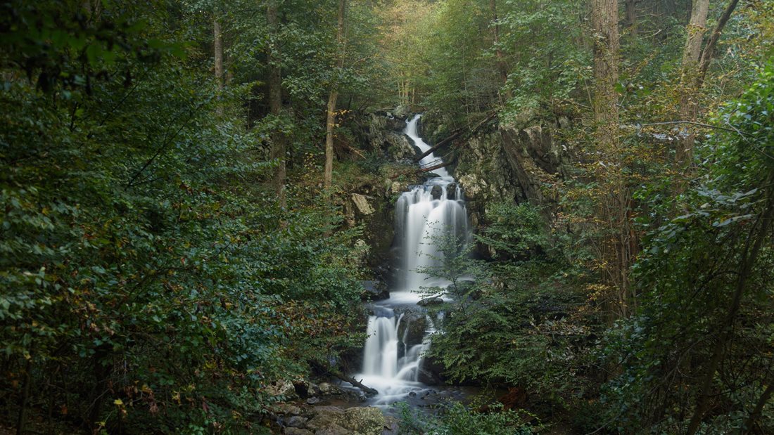
Three waterfalls mark this South District circuit. The park’s route descends from Skyline Drive to Upper and Lower Doyles River Falls, then climbs beside Jones Run past the third waterfall. Save some energy for the way out: much of the climbing comes after you’ve reached the streams.
- Circuit distance
- 6.5 miles
- Elevation gain
- 1,400 feet
- Hiking time
- 7 hours
- NPS rating
- Moderately strenuous
Getting there from Skyland
Drive south on Skyline Drive to Browns Gap parking at mile 83. From Skyland’s north entrance, that’s about 41 road miles each way. With the drive and the park’s seven-hour hiking estimate, this is a full-day outing.
Down Doyles River and up Jones Run
Cross Skyline Drive from the parking area and descend Browns Gap Fire Road. Turn right onto Doyles River Trail. Trail posts mark the upper and lower falls; the lower falls, at 63 feet, are the tallest on the circuit.
Continue onto Jones Run Trail for the climb past 42-foot Jones Run Falls. At the Jones Run parking area, turn right onto the Appalachian Trail and follow it back to Browns Gap.
Browns Gap route map
Open the shared route on AllTrails · Download the park’s Loft Mountain area map (PDF)
Mileage, climb, time and directions describe the National Park Service circuit from Browns Gap parking.